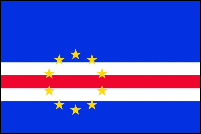
Cabo Verde
Overview of the country
Cabo Verde is an archipelagic country located in the Atlantic Ocean, at about 550 km from the west coast of Africa. It is composed of 10 islands and 13 islets, has a surface area of 4,033 km² and an exclusive economic zone of approximately 734,265 km². The islands emerge from the deep abyssal plain, beyond the continental shelf of Africa and are divided into two groups, depending on the prevailing winds: Barlavento (Sto Antão, São Vicente, Sta Luzia, São Nicolau, Sal and Boa Vista) and Sotavento (Santiago, where the capital Praia, Fogo, Maio and Brava are located). As for the administrative division, the country is made up of 22 Municipalities (Ribeira Grande, Paul, Porto Novo, São Vicente, Tarrafal de S. Nicolau, Ribeira Brava, Sal, Boa Vista, Maio, Praia, S. Domingos, Ribeira Grande de Santiago , Santa Cruz, São Lourenço dos Orgãos, São Salvador do Mundo, Santa Catarina de Santiago, Tarrafal de Santiago, São Miguel, São Filipe, Santa Catarina do Fogo, Mosteiros e Brava).
The population projection in 2019 is 550,483 resident inhabitants with 277,720 men and 272,764 women.
Political, economic, and social context of the country
- Political context
Since its independence from Portugal in 1975, the Republic of Cabo Verde has had a democratic and parliamentary regime with regular elections and consensus oriented. Elections (Presidential, Legislative and Municipal) are considered free and impartial and the governing parties alternate regularly. Since the 2016 legislative elections, 3 parties are represented in the National Assembly. The ruling, Movement for Democracy (MPD), the African Party for the Independence of Cabo Verde (PAICV) and the Independent and Democratic Cabo Verdienne Union (UCID). Cabo Verde is part of the African Union, ECOWAS and PALOP (African Countries of Portuguese Official Language)
- Economic context
The country's economy is dominated by the tertiary sector, followed by the secondary and primary sectors. Due to unfavorable development conditions, the contribution of the primary sector to GDP remains low, around 8% on average over the 2007-2016 period, compared with around 17% of the secondary sector and 62% of the tertiary sector.
Despite the challenges, particularly due to its island economy, Cape Verde experienced spectacular social and economic progress between 1990 and 2008, mainly due to the rapid development of tourism. During the period 2009-2015, economic growth slowed considerably due to the extended impact of the global financial crisis. The recovery in gross domestic product (GDP) growth began in 2016 and was consolidated in 2018, according to information from the National Institute of Statistics, which reveals that the GDP increased by 4.7%, 4 % and 5.5% respectively. The Consolidating of its performance as a middle-income country and further strengthening the conditions for reducing poverty and promoting shared prosperity will be crucial challenges. Inflation stands at -1.4 in 2016, 0.8 in 2017 and 1.3 in 2018.
- Social context
According to the 2015 Family Expenditure and Income Survey the incidence of poverty is 35%.
According to the Family Food Vulnerability Monitoring Survey (ISVAF), food insecurity affects 20% of Cape Verdean families, of which 7% in severe form and 13% in moderate form. Around 11% of rural families are at risk of food insecurity.
Cabo Verde has made great progress in improving its level of health, education and in other aspects related to Human Development.
Cabo Verde has achieved almost universal education at the primary level. Indeed, the country has achieved gender parity in terms of primary and secondary education levels. The literacy rate for children aged of 15 or over was 85.3% in 2012 compared to the rate of 80.0% in 2004. Likewise, the secondary education completion rate stands at 90.0% in 2012, compared to 57.0% in 2005.
In 2015, the country's ranking on the United Nations’ Human Development Index was 0.648.
Agro-sylvo-pastoral and fishery sector
In Cape Verde, agriculture is conducted according to two types of regimes, rainfed and irrigated. With a surface area of around 38,000 ha, rainfed agriculture is practiced on family farms. The combination of corn and beans being the main crops (in about 95% of cultivated land). Irrigated agriculture is practiced throughout the year, depending on the availability of water in a potential area of around 5,000 ha.
Herding is practiced by 41,000 families, which is around 60% of the total population and more than 90% of the rural population. Animal production is well integrated into the agricultural production system and is practiced extensively, especially in arid areas. The livestock population is mainly made up of small ruminants, particularly goats (107,630). In addition to goats, it is made up of poultry, rabbits, (66,905) cattle (29,599) and sheep (12,625). In all the islands, breeding is practiced but the emphasis is on the islands of Santiago, Fogo and Santo Antão.
According to the Forest Inventory, in Cabo Verde, the woody vegetation surfaces amount to 89,903 ha divided into different land use classes, including: Agro-forestry (13,587.8), Forestry (43,336.5) , opened forest formations (11,274.8), Shrubby areas (21,352.8). If we consider the national forest surface areas, about 43,336.5 ha, 68% is in the island of Santiago, followed by the island of Maio with 4,148.9 ha which represents around 10% of the whole.
Fishing is an important economic activity for the country, particularly artisanal fishing, given its positive impact on food security and the income of the most vulnerable households.
